15 CABOT ST
Owner Information
ANTOINE CASSANDRA
15 CABOT ST
BROCKTON, MA 02302


Property Details
15 CABOT ST is classified as a Single Family Residential (10:f to b splt).
The primary structure on this property was built in 1973. There is 1,352ft2 of residential/living space within this property. This property is listed as having 5 rooms.
15 CABOT ST is valued at $290,300. The land is valued at $79,700 and the structures are valued at $210,600. There is an additional valuation of $240 on this property.
This property is in Zone R1C. Confirm with local Zoning Board authorities to ensure there are no overlays or other easements on this property.
The most recent deed for 15 CABOT ST is recorded at the local registrar in Book 51586, Page 269. 15 CABOT ST was last sold on Friday, August 30, 2019 for $305,000.
Assessment data from fiscal year 2021.
Flood Data
According to the FEMA National Flood Hazard Layer, this property does not appear to be in a flood zone. It may also be in an area not yet reviewed. Nonetheless, confirm this information prior to taking any action.
To view the flood hazards around this property, create a FEMA "Firmette" Map of the area around 15 CABOT ST.
Broadband Internet Providers
| Provider | Type | Bandwidth (mbps) | |
|---|---|---|---|
| VSAT Systems, LLC. | Satellite | 2 | 1 |
| Crown Castle Fiber | Fiber | 0 | 0 |
| Viasat Inc | Satellite | 100 | 3 |
| Verizon New England Inc. | DSL | 10 | 1 |
| Comcast | Cable | 1000 | 35 |
| GCI Communication Corp. | Satellite | 0 | 0 |
| HughesNet | Satellite | 25 | 3 |
Broadband service provider data from December 2020.
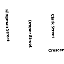
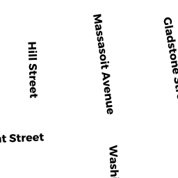
Adjacent Properties
- 24 PERRY AV
Single Family Residential owned by OJO ABIODUN S - 18 PERRY AV
Single Family Residential owned by CROMPTON KENNETH G - 12 PERRY AV
Single Family Residential owned by CARPENTIERI MAUREEN DONARUMA - 487 CRESCENT ST
Single Family Residential owned by NGUYEN DANH KHOA - 491 CRESCENT ST
General Office Buildings owned by MCMULLEN DEBORAH A TRUSTEES - 23 CABOT ST
Two-Family Residential owned by BAPTISTA GOMES DEPINA HERSINIA